I was planning since a while to do a tour of Switzerland, stopping at airports or airfields where I have not been so far. My boss, who is also a private pilot, liked the idea so we finally agreed to do such a tour on the:
9. September 2008:
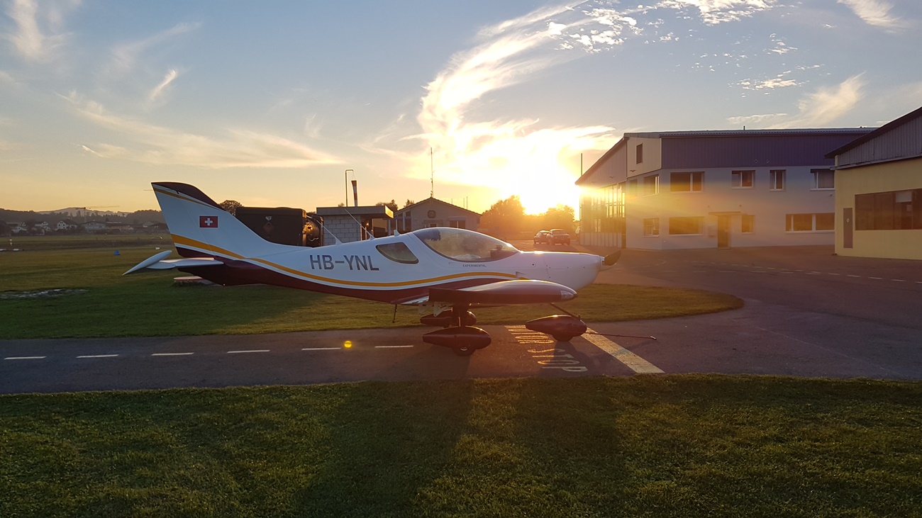
Markus so far only flies the Robin DR-400, so we booked HB-KFW for our tour. We agreed to fly the following route: Lommis, LSZT – Fricktal-Schupfart, LSZI – Les Epplatures, LSGC – Lausanne, LSGL – Gruyere, LSGT – Saanen, LSGK – Buttwil, LSZU – Wangen Lachen, LSPV – Lommis, LSZT, and to switch seats after each leg.
I started with the first leg to Fricktal-Schupfart. When flying west from Lommis one has to either make a detour to the north or the south to avoid the CTR of Zurich, or to fly straight through it. A lot of pilots hesitate to do that as you have to ask Zurich tower for permission and their frequency can by quite busy, but I always try. So far they only didn’t let me cross once due to heavy traffic. Passengers love it as you cross the airport at approximately 1500 ft AGL, which gives you a nice view. The picture below is from a previous flight


Sometimes you can even see planes taking off below you.

After Zurich the weather started getting a little dark, but finally it was ok for whole flight.

We intentionally did not take a GPS with us, doing pure visual navigation. Cooling towers of nuclear power plants are of the more visible landmarks.

After Fricktal we passed Mont Soleil, site of the largest solar power station in Switzerland (a contrast to the picture above). There are also two large wind generators, about ten more are planned.

Les Eplatures, our next destination, lies between the cities of La Chaux-de-Fonds and Le Locle. The runway starts just after the city, which results in a spectacular final approach across “downtown”. You just pray not to have an engine failure…

Note the two large buildings at both ends of the 1000 m runway. Les Eplatures has an ILS and is frequently used by business jets.

From Les Eplatures we flew to Lausanne, where the airfield is on top of the city.

You don’t see the city when approaching from the north, as the terrain drops around 800 ft down to the lake just after the runway, and the city lies on that slope. The 750 m runway is not flat but drops around 50 ft when landing from the north, as seen on the picture, so you better cross the threshold at the minimum speed and height or your plane floats and floats and floats. Taking off towards the south is quite spectacular, as you are quickly 1000 ft above ground even without climbing much. Below a picture taken just after taking off, with the city to the left.

We also passed one of the old paddle wheelers.

From Lausanne we continued to Gruyere, which lies nestled between some nice hills. The old village of Gruyere lies on a hill, with a huge castle, and the approach to the airfiled goes around that hill.

The runway is just to the right of the river. Taking off is quite tricky when loaded, as you have to turn right just after take off not to hit the hill, and then continue over climbing terrain.

From Gruyere we continued to Saanen, which lies next to the famous skiing resort of Gstaad. Saanen is an old military airport, where Vampires and Hunters once flew. Today it is mostly used by the rich and famous and their business jets. The downwind is 1’700 ft above the airfield (right of the runway, above the forest, you then have to turn right into the valley just after the runway, then fly a 180 around Gstaad to loose height and then come back into the main valley with the airport doing a 90 degrees curve into short final.

From Saanen we contineud to Buttwil. On the way we passed the famous Eiger, Mönch and Jungfrau mountains…

…and then continued over the Thunersee and Brienzersee.

In Buttwil we decided to call it a day and to drop Wangen-Lachen from our list, so I flew straight back to Lommis. On the way we saw what I would call the ultimate dream home (the small castle on the island). Imagine, docking your Beaver floatplane next to your castle…

Below Lommis airfield, with the row of hangars in the centre of the picture and the runway just in front of the hangars. The circuit to runway 06 is flown right hand, as the hill on the north of the airfield is higher than the circuit altitiude. The hill is a good indicator when the weather is marginal. If you see the top then you can at least fly circuits without getting into the clouds.

Figures:
We landed at six airport (not counting Lommis), with a total off block time of 4 hours and 52 minutes.
Conclusions:
Switzerland offers not only spectacular scenery but also a large number of spectacular airports which are worth a visit.
Bernhard Stamm